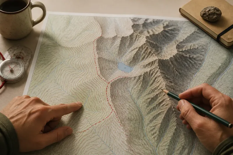
Maps
Contour Lines or Shaded Relief: Two Ways to Read a Mountain Map
Contour lines or shaded relief each reveal different terrain clues. Learn how to read both layers to recognize…
My Mountaineers — Landforms — 6 min read
My Mountaineers explores mountain forms, maps, mountain language, and the ways people have understood high places across time.
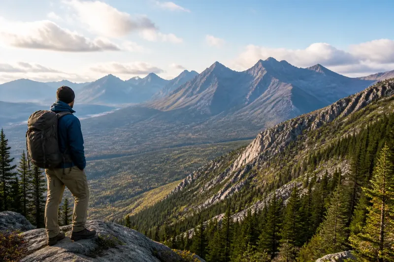
Contour lines or shaded relief each reveal different terrain clues. Learn how to read both layers to recognize…
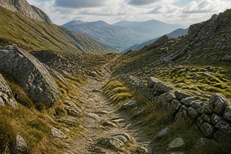
A mountain pass history reveals how a practical crossing became travel imagery, helping you read old route traces and…
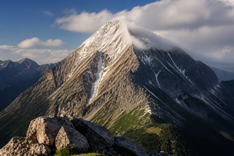
A white summit in a photograph may be snow, cloud, sunlit rock, or glare. Use shape, texture, and weather clues to…
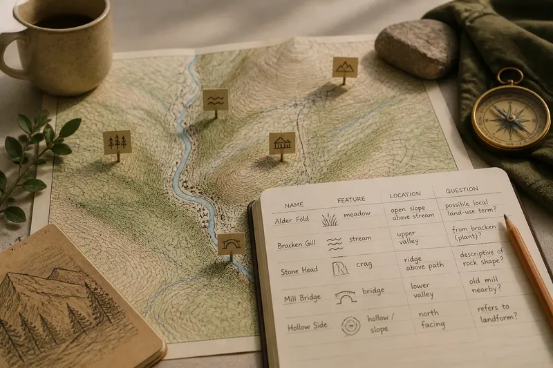
A place-name walk along a mountain valley helps you read local language, land use, and uncertain map labels without…
Why mountain ridges look different from every side comes down to rock, slope, and viewpoint. Learn to compare profiles…
Contour lines or shaded relief each reveal different terrain clues. Learn how to read both layers to recognize mountain shape and interpret a map with confidence.
My Mountaineers
3 · 19 min read